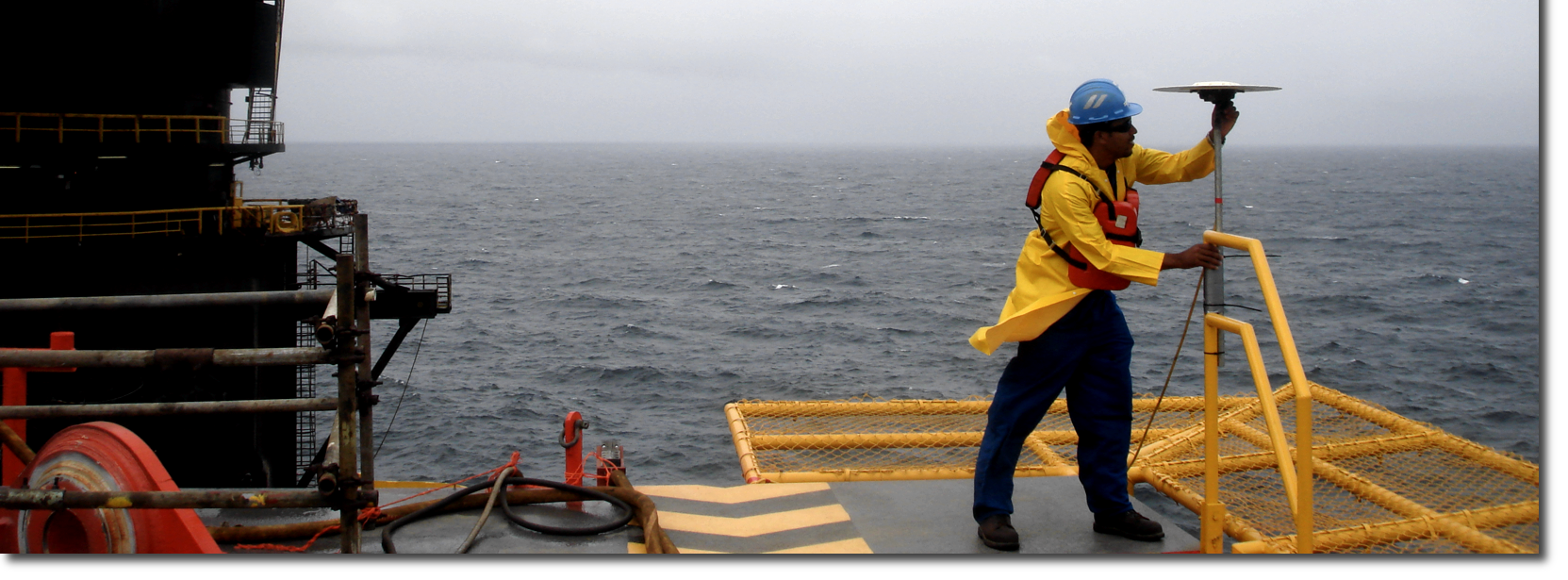
Positioning, Navigation, Survey and Geosciences
Capital Signal’s Geosciences division provides critical, time-sensitive technical services to multi-billion dollar petroleum exploration and drilling operations, harbour projects, dredging, and other marine construction projects on a world-class level.
Our team is equipped with the latest, state-of-the-art gear to meet all survey, geotechnical, navigational and design support needs quickly, safely and cost effectively.
With more than nineteen years in the Geosciences field and working for a wide range of local and international customers, our track record is in excess of 100 successful projects.
Our Services Include:
- Rig Positioning and Navigation.
- DGPS/RTK Surveys.
- Bathymetric Surveys – Multi-beam and Single Beam.
- Geophysical Surveys.
- Desktop Studies.
- Pipeline Route Surveys.
- 2D High Resolution Surveys.
- 2D/3D Seismic Data Reprocessing .
- Topographic Survey.
- ROV Inspection Class / Light Work Class.
- Pre-lay / Post Lay / As-built Surveys.
- Pipeline Cleaning.
- MODU Stability and Leg Pen Analyses.
- Met Ocean and Environmental Surveys.
ROV Services
Through our alliance with Submersible Systems Inc, we provide light to heavy working class ROV systems locally as well as internationally.
2D & 3D Processing, Reprocessing and Reporting Services.
To complement our geophysical survey data acquisition we have formed a joint venture with Geotrace Limited which allows us to perform onboard 2D HR Seismic Data processing on a real-time basis during field acquisition.
This partnership brings with it all of Geotrace’s experience in 3D reprocessing and is now one of the services we offer.


We are always expanding our service offerings. If you do not see the service that you require, our competent teams may be able to meet your needs. Please contact us for more information.